Top of Page (AccessKey T)

Demolition Phase Two

Thumbnail of Phase 2 map showing approximately 100 acres throughout Area II at SSFL, including the Skyline Area, Sewage Treatment Plant (STP), the Alfa/Bravo and Coca/Delta Fuel Farms, and the Liquid Oxygen (LOX) Plant, located in Area I.

Map of Phase 2 demolition

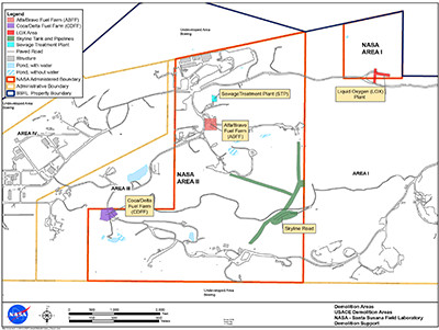
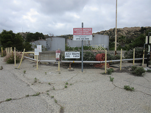
Phase 2 focuses on areas outside of the historic districts where obsolete buildings and infrastructure still remain. This includes Skyline Tanks and Pipelines, the Alfa/Bravo and Coca/Delta Fuel Farms, the Sewage Treatment Plant, the Liquid Oxygen (LOX) Plant, and the former Delta Test Area. Phase 2 is occurring in two sub-phases. Phase 2-A consists of Skyline, the Alfa/Bravo and Coca/Delta Fuel Farms, the Sewage Treatment Plant, and the Liquid Oxygen (LOX) Plant. Phase 2-B covers the former Delta Test Area.

Locations

Demolition Phase Updates

Phase 2-B Demolition Updates

Published 5/11/2018

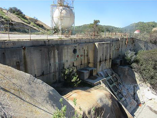
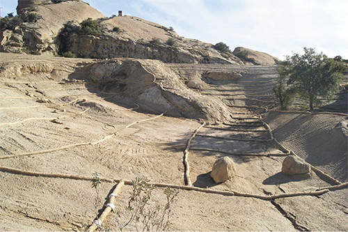
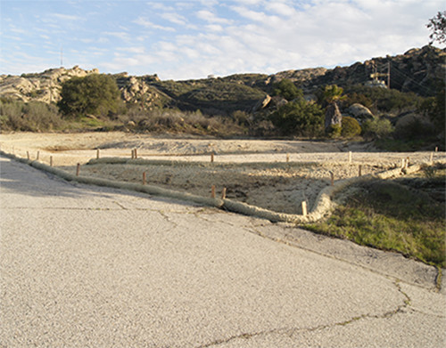
These photos show the progress of Phase 2-B in the Delta Test Area.

Delta Test Area
This photo shows an aerial view of the Delta Test Area, showing various buildings and structures.
May 2017
This photo shows an aerial view of the Delta Test Area, vacant of buildings or structures, with only rocks formations, trees, and dirt roads remaining.
April 2018
Delta Test Stand 3
This photo shows large concrete slabbing and fencing, with a large white hydrogen tank in the background.
May 2017
This photo shows a graded area covered with dirt, with rock formations and trees in the background.
April 2018

Phase 2 Demolition Updates

Published 10/26/2017

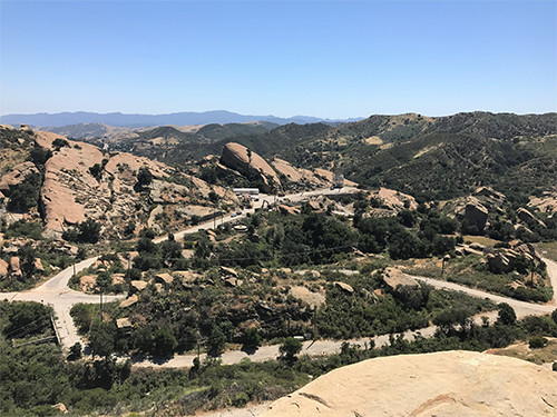
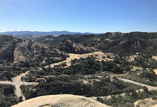
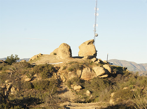
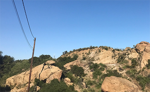
These photos show the progress of the Phase 2 demolition activities.

Alfa Hill Tanks
This photo shows the Alfa Hill tanks in March 2017, prior to demolition.
March 2017
This photo shows the Alfa Hill location in May 2017 after the tanks had been removed.
May 2017
Alfa Bravo Fuel Farm
This photo shows the Alfa-Bravo Fuel Farm tanks in March 2017, prior to demolition.
March 2017
This photo shows the Alfa-Bravo Fuel Farm area in May 2017 after the tanks had been removed.
May 2017
Skyline Drive
This photo shows the Skyline Drive area in March 2016, just before demolition work began.
March 2016
This photo shows the Skyline Drive area in May 2017, nearing the end of the demolition work. All the water tanks have been removed.
May 2017
Skyline Tanks
This photo shows the Skyline Tanks in March 2016, just before demolition work began.
March 2016
This photo shows the Skyline Drive area in May 2017, nearing the end of the demolition work. All the water tanks have been removed.
May 2017

NASA continues with demolition work in the Skyline Area

Published 8/6/2016

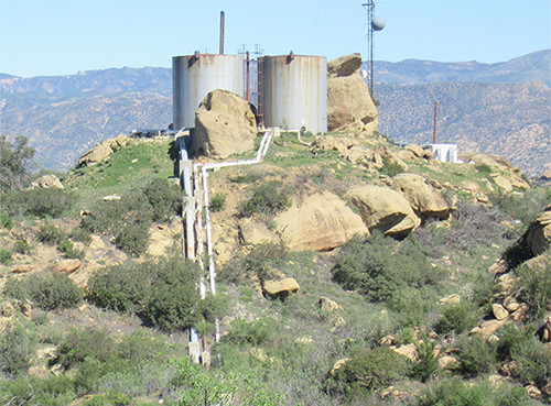
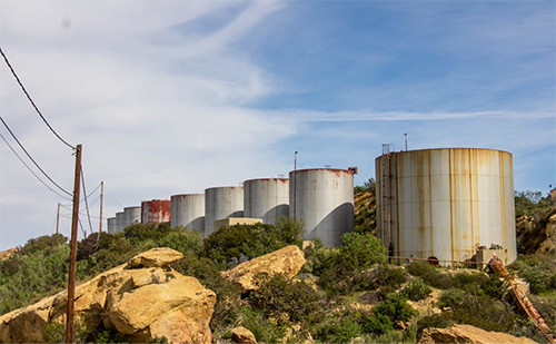
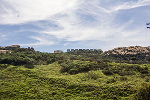
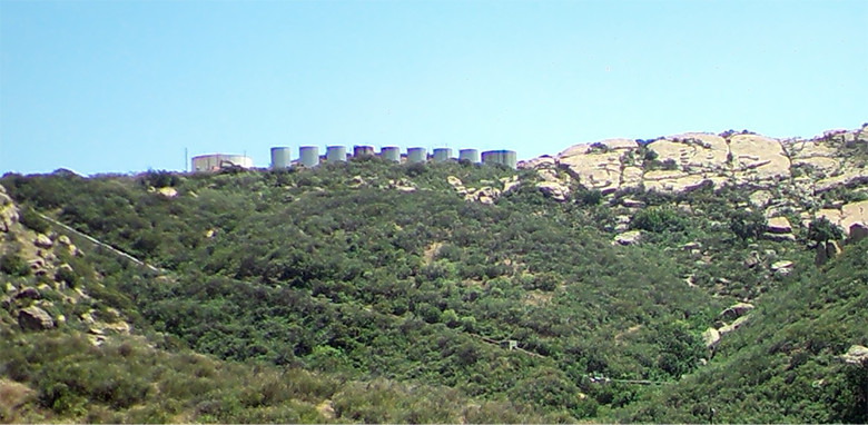
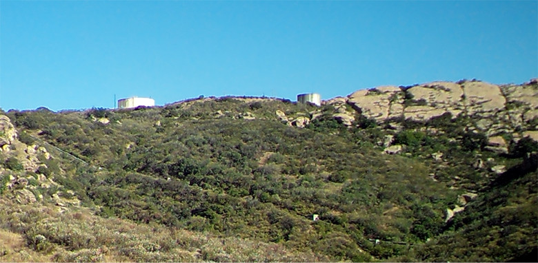
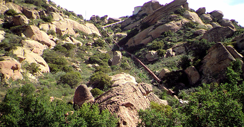
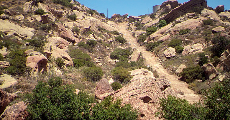
NASA kicked off Phase 2 of demolition in the Skyline Area to remove obsolete water tanks and pipeline. The photos below show the progress made with demolition of the Skyline water tanks and the pipeline leading from the water tanks to the Coca Test Area.

Skyline Tanks
This photo shows the Skyline area in March 2016, just before demolition work began. Ten water tanks can be seen on the top of a hill in the distance.
March 2016
This photo shows the Skyline area in July 2016, after significant progress with demolition work. Just two water tanks can be seen on the top of a hill in the distance.
June 2016
Skyline Coca Pipeline
This photo shows a large water pipeline extending from the Skyline area on the top of a hill, down to the Coca Test Area in March 2016, before demolition work began.
March 2016
This photos shows the hillside leading from Skyline area down to the Coca Test Area. This was taken in Juy 2016 after the pipeline had been removed as part of NASA demolition activities.
June 2016